


Teasdale Voting District, Wayne County, Utah
About
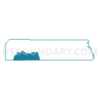
Outline

Summary
| Unique Area Identifier | 680489 |
| Name | Teasdale Voting District |
| County | Wayne County |
| State | Utah |
| Area (square miles) | 254.23 |
| Land Area (square miles) | 253.88 |
| Water Area (square miles) | 0.36 |
| % of Land Area | 99.86 |
| % of Water Area | 0.14 |
| Latitude of the Internal Point | 38.21583400 |
| Longtitude of the Internal Point | -111.37607290 |
Maps

Graphs
Select a template below for downloading or customizing gragh for Teasdale Voting District, Wayne County, Utah


Neighbors
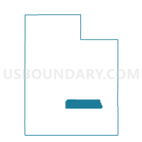
Neighoring Voting District (by Name) Neighboring Voting District on the Map
- Antimony Voting District, Garfield County, UT
- Bicknell Voting District, Wayne County, UT
- Boulder Voting District, Garfield County, UT
- Hanksville Voting District, Wayne County, UT
- Loa Voting District, Wayne County, UT
- Torrey Voting District, Wayne County, UT
Top 10 Neighboring County Subdivision (by Population) Neighboring County Subdivision on the Map
- Loa CCD, Wayne County, UT (2,464)
- Escalante CCD, Garfield County, UT (1,258)
- Hanksville CCD, Wayne County, UT (314)
- East Garfield CCD, Garfield County, UT (98)